
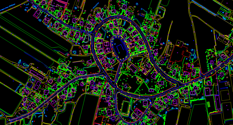
Photogrammetry is the science of making measurements from photographs. The input is a set of photographs; the output is typically a map, a drawing, a measurement, or a 3D model of a real-world object or scene. Our process establishes the geometric relationships among overlapping and side-lapping photographs to determine the position of supplementary horizontal control points — substantially reducing the control required from field survey methods.
Our Photogrammetry Workflow
- Establishing ground control points
- Line maps of the project area showing flight lines and project boundaries
- Control point location, identification and coordinate description
- Tie-point measurement and transfer
- Block adjustment