
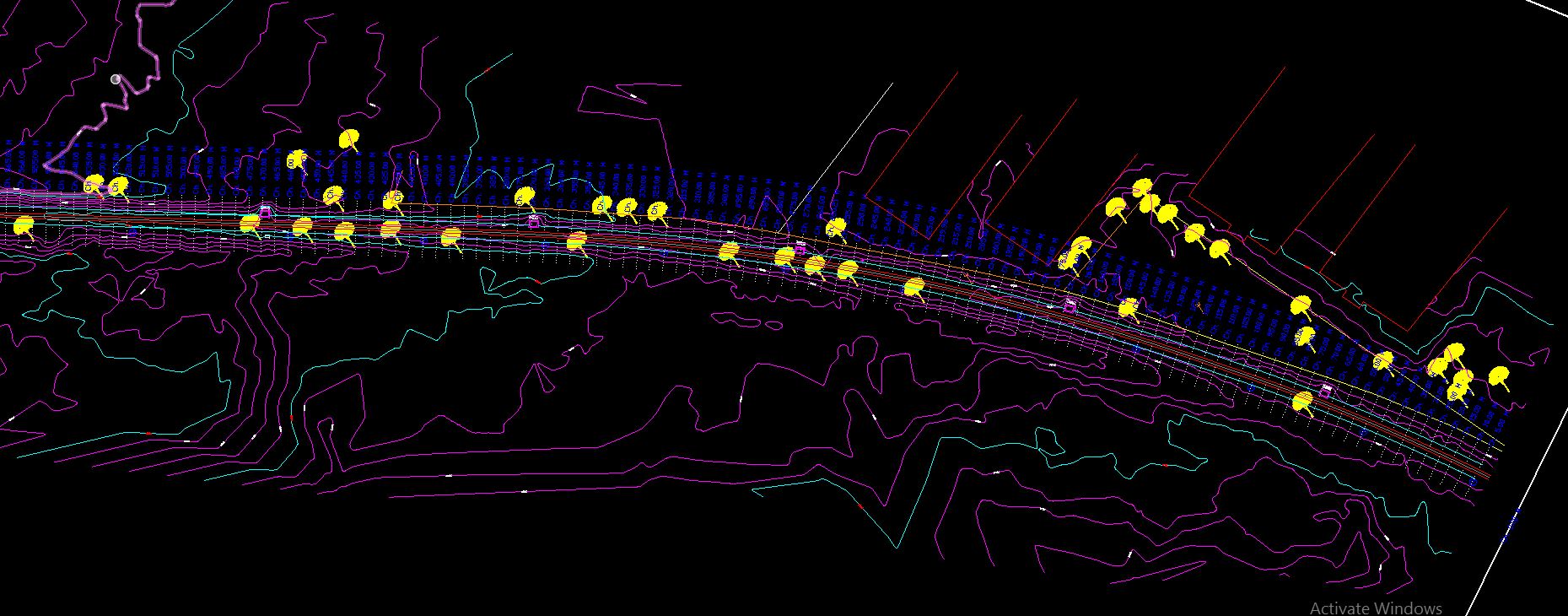
KGlobe India provides mobile mapping asset-management solutions, capturing accurate geo-referenced 360° panoramic imagery to extract right-of-way asset features such as roads, sidewalks and trees. Where this was once collected manually with handheld devices — a costly, time-consuming process — our 360° camera and Applanix POS LV-based workflow now delivers the same accuracy in a fraction of the time. Captured imagery is processed to extract asset type, condition and horizontal location, ready for import into a GIS or Infrastructure Asset Management System.
Where Mobile Mapping Helps
- Utilities — inventories of poles, vegetation encroachment and asset condition
- Public safety — 360° situational awareness ahead of a site visit
- Insurance — underwriting risk assessment for residential and commercial properties
Industries served include financial services, GIS, highways & roads, information technology, public engineering, public finance, revenue & accounting, public safety, and public works.