
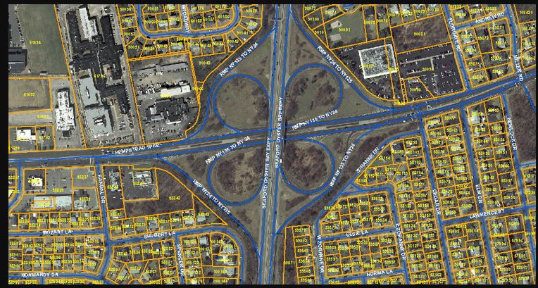
KGlobe India provides GIS services, GIS remote sensing, GIS mapping and GIS data conversion for clients who need to visualize geographic data, analyze spatial relationships and manage location-based information efficiently. GIS data conversion brings information from different paper or electronic sources into a single, consistent format — making it easy to access, analyze and act on.
Working from paper records or electronic data supplied by our clients, we prepare electronic maps and undertake GIS data conversion using current Geographic Information Systems technology.
What We Deliver
- GIS data capture, conversion and structuring from paper or electronic sources
- Spatial analysis and interactive map production
- Parcel mapping and utility mapping (electric, gas, sewer, storm drain)
- GPS, GIS and CAD-integrated map products
Why KGlobe
Our GIS team combines state-of-the-industry technology with experienced engineers and planners to deliver GIS products integrated across GPS, GIS and CAD platforms — backed by a continuous focus on customer satisfaction and data accuracy.