
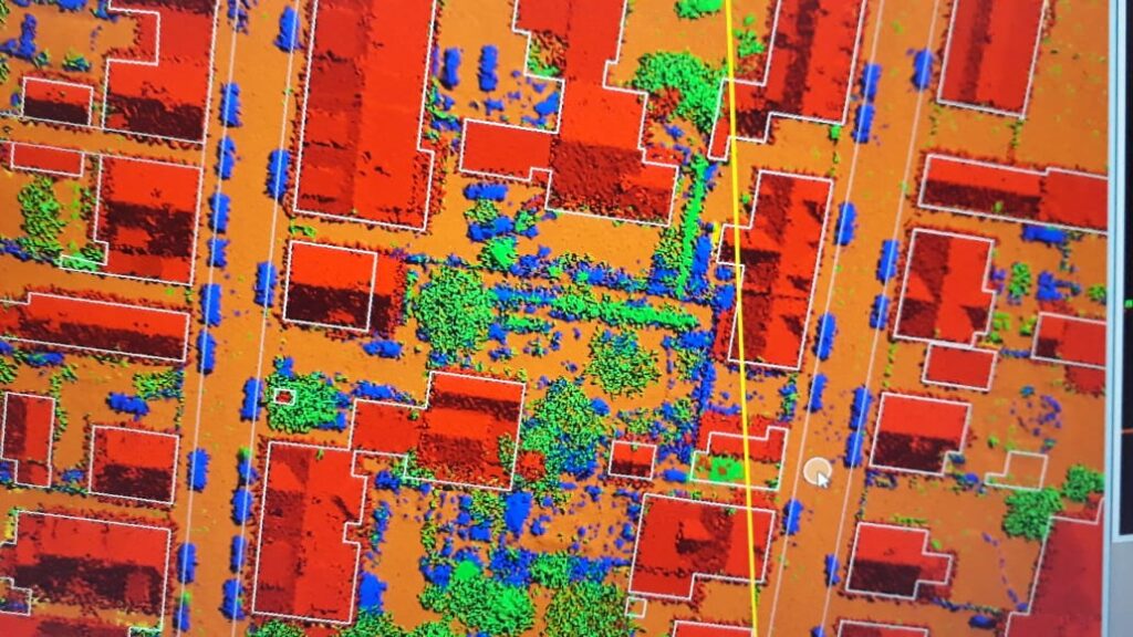
KGlobe provides a wide range of LiDAR data processing services, creating Digital Elevation Models (DEM), Digital Terrain Models (DTM) and Triangulated Irregular Networks (TIN) that capture highly accurate detail of the Earth's surface. Our LiDAR processing has helped organizations across multiple industries make better-informed planning decisions — from electrical utility networks to agricultural watershed and crop assessment mapping.
Typical LiDAR Processing Services
- Data evaluation for domestic utilities (electric, telephone, etc.)
- Watershed analysis using LiDAR
- Forest mapping with category identification
- Agricultural and plantation classification
- Land cover point cloud analysis
- Oil and gas pipeline data extraction from LiDAR
Additional LiDAR Services
- Data cleansing and noise removal
- Bare-earth and non-ground LiDAR classification
- Generation of DTM and contours
- Vectorization and feature extraction
- Image overlay and point cloud colorization