
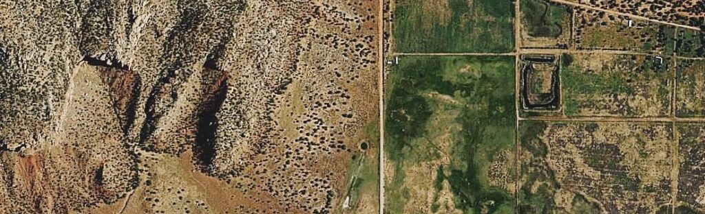
We produce orthophotos from both aerial photographs and stereo satellite imagery, supporting the latest aerial and satellite photography sensors. Our photogrammetry team is experienced across small and large-scale projects, creating high-precision digital topographic maps with the infrastructure to deliver on tight turnaround times — without compromising accuracy.
We hold ourselves to a high standard of transparency with our customers, backing every project with rigorous production practices and quality procedures.
Key Orthophoto Services
- Aerial triangulation
- DEM / DTM / contour generation
- Planimetric mapping of railways, roads, buildings and vegetation
- Topographic mapping
- Stereo compilation
- Orthophoto generation and ortho-mosaic production