ORTHOPHOTO

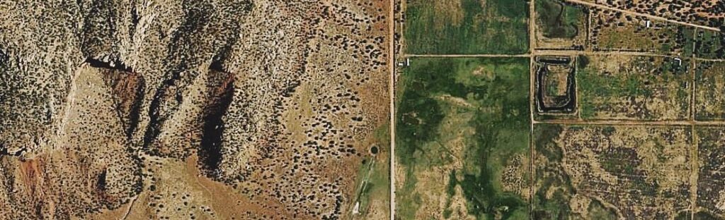
Orthophoto provides Photogrammetry services for both Aerial Photographs and Stereo Satellite Images for all the latest Aerial and Satellite Photography sensors. Our photogrammetry division is experienced with working on small to large scale projects and creating digital topographic maps of high precision.


We have the required infrastructure and knowledge to deliver big projects with very quick turnaround times and with a high degree of precision.

We hold ourselves to the highest standard and believe in full transparency within our team and with our customers. For that reason, our production process includes many rigorous practices and procedures to ensure the end result is the best it can possibly be.

Take a look at the key Photogrammetry services we offer


  • Aerial Triangulation

  • DEM/DTM/ Contour Generation

  • Planimetric mapping of railway, roads, buildings, and vegetation

  • Topographic mapping

  • Stereo Compilation

  • Orthophoto generation and ortho mosaic